

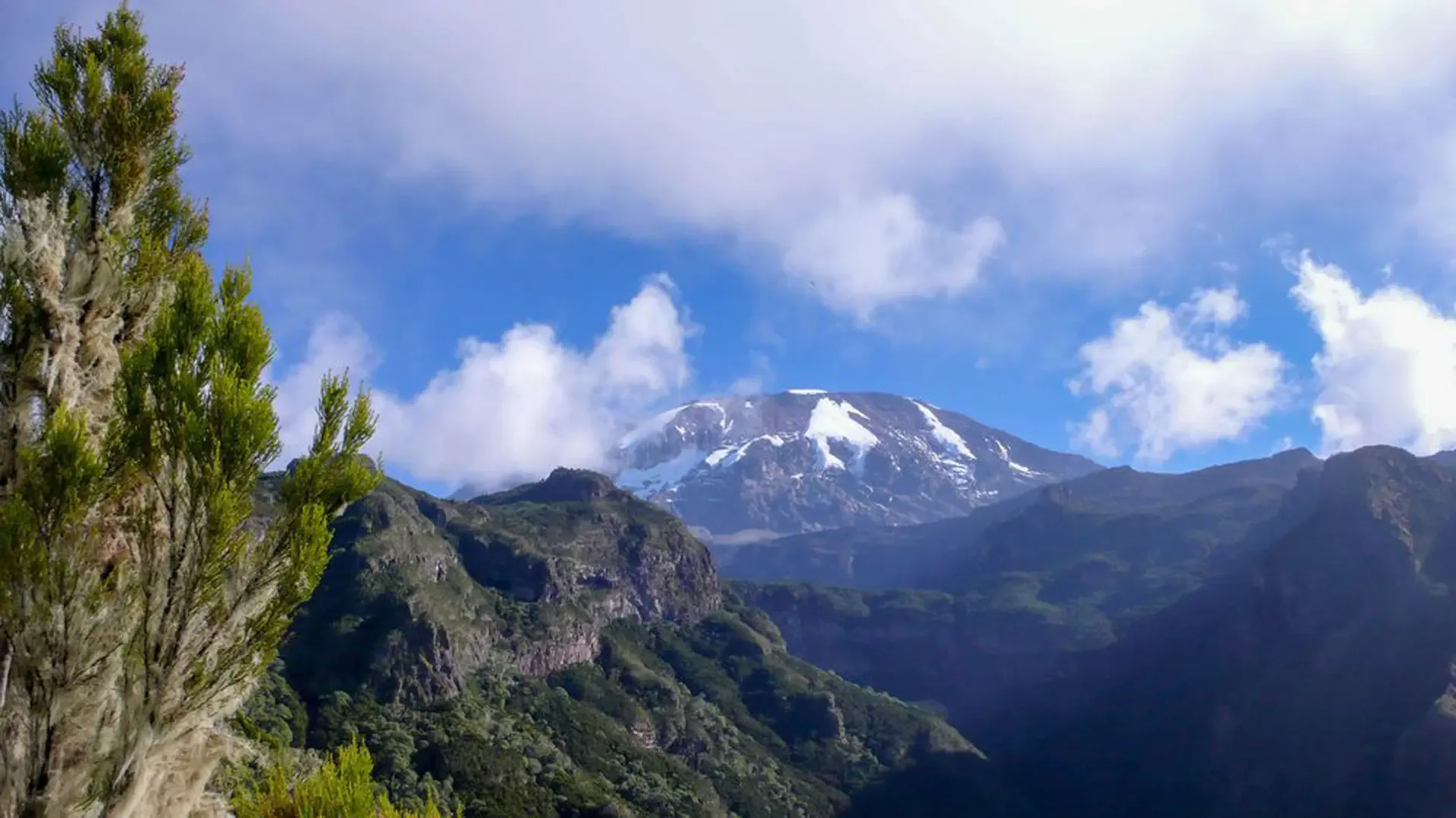
7 Days Umbwe Route
A 7-day Umbwe route climb on Mount Kilimanjaro, Moshi to the summit
Overview
7-day Umbwe route climb
The 7-day Umbwe route climb on Mount Kilimanjaro takes the hardest trail, and our re-routed itinerary joins the Machame route from night two.
The Umbwe Route is widely regarded as the hardest trail, a tough vertical slog through the jungle, in places using the tree roots as makeshift rungs on a ladder. Because of the high risks involved with sleeping at Arrow Glacier camp and summiting via the Western Breach, all our Umbwe route hikes are re-routed, to join with the Machame route from night 2 on the mountain. On special request, we can assist with Umbwe route hikes attempting to summit using the Western Breach/ Arrow Glacier path and overnight at the Crater camp. Please note this can only be arranged through our higher quality Standard packages and a supplement rate will apply. The main itinerary difference between the Umbwe 6 day and 7 day routes is the additional acclimatization day at Barranco camp.
Travel logistics
Start / Finish
Start
- Moshi
- JROKilimanjaro International Airport
Finish
- Arusha
- JROKilimanjaro International Airport
Highlights
Expedition Highlights
Explore Mount Kilimanjaro
7 days fully guided
| Day | Place | Elevation (m) |
|---|---|---|
| 2 | Umbwe Gate | 1614 |
| 2 | Umbwe Cave camp | 2850 |
| 3 | Barranco camp | 3985 |
| 4 | Karanga Camp | 4040 |
| 5 | Barafu camp | 4681 |
| 7 | Mweka camp | 3090 |
| 7 | Mweka Gate | 1641 |
Day by Day
7-day Umbwe route climb itinerary
You will be picked up by the staff of Gosheni Safaris from Kilimanjaro International Airport (JRO) and driven to your accommodation in Arusha. Participants will be given a short briefing for the climb the next day. Kits and the necessary equipment will be checked as well.
- Elevation
- 1,614 m (5,295 ft) → 2,850 m (9,350 ft)
- Distance
- 10.3 km (6.4 mi)
- Walking
- 6 hours
- Zone
- Rainforest
Hiking time: 6 Hours Distance: Approximately 10.3 km Habitat: Forest (Montane)
After breakfast, you will be driven to the Machame gate where registration formalities will be completed. From there, we proceed to the Umbwe Gate (1641m), passing through villages with coffee and banana plantations. The air is thick with moisture and the path is usually muddy. The route initially follows a forestry track winding up through the natural rain forest. It then narrows and steepens to climb the ridge between the Lonzo and Umbwe rivers, with huge trees surrounding you. The path offers some spectacular views of deep gorges and if you are lucky, glimpse of Kilimanjaro towering above you in the distance. The camp is perched between huge trees and thick undergrowth.
- Elevation
- 2,850 m (9,350 ft) → 3,985 m (13,074 ft)
- Distance
- 6.3 km (3.9 mi)
- Walking
- 6 hours
- Zone
- Heath & moorland
Hiking time: 6 hours Distance: Approximately 6.3 km Habitat: Moorland
Shortly after leaving the camp the forest starts thinning and is replaced by rockier terrain, sparser undergrowth and straggly, moss-covered trees. The path continues along a narrow, but spectacular ridge. As you gain higher altitude, you will have sightings of Kilimanjaro rising majestically ahead of you, etched against the blue sky. The path flattens as you approach Barranco Valley. From Umbwe ridge, the route descends slightly to the Barranco camp. The camp is situated in the valley below the Breach and Great Barranco Wall, which should provide you with a memorable sunset while your dinner is being prepared.
- Elevation
- 3,985 m (13,074 ft) → 4,040 m (13,255 ft)
- Distance
- 6 km (3.7 mi)
- Walking
- 6 hours
- Zone
- Heath & moorland
Hiking time: 6 hours Distance: Approximately 6 km Habitat: Moorland / Semi desert
After spending a night at the great Barranco Wall, we make our way up this awesome looking obstacle, which in the end normally turns out to be easier than anticipated. Topping out just below the Heim Glacier, you will now appreciate just how beautiful Kilimanjaro really is. The route then heads down through the Karanga Valley over intervening ridges and valleys, and then joins up with the Mweka route. The last water stop on the route is the Karanga Valley, as there is no water available at Barafu camp.
- Elevation
- 4,040 m (13,255 ft) → 4,681 m (15,358 ft)
- Distance
- 3.4 km (2.1 mi)
- Walking
- 4 hours
- Zone
- Alpine desert
Hiking time: 4 hours Distance: Approximately 3.4km Habitat: Alpine desert
After breakfast, we turn left up the ridge and the route ascends 640m towards Barafu Camp. Barafu is the Swahili word for “ice” and it is a bleak and inhospitable camping area to spend the night. Totally exposed to the ever-present gales, the tents are pitched on a narrow, stony, and dangerous ridge. Make sure that you familiarize yourself with the terrain before dark to avoid any accidents.
The summit is now a further 1214m higher and you will commence with your final ascent attempt, the same night. Prepare your equipment, hiking poles and thermal clothing for your summit attempt. This should include the replacement of your headlamp and camera batteries and make sure you have a spare set available as well. To prevent freezing it will be wise to carry your water in a thermal flask.
- Distance
- 4.5 km (2.8 mi)
- Walking
- 7-8 hours
- Zone
- Arctic summit
Barafu camp (4681m)-Uhuru Peak (5895m)-Mweka (3090m) Hiking time: 7 to 8 hours to reach Uhuru Peak | 6 to 8 hours to descend to Mweka Camp Distance: Approximately 4.5 km ascent and 10.8 km descent Habitat: Stone scree and ice-capped summit
You will get up around 23h20, and after some tea and biscuits you shuffle off into the night. You will head northwest and ascend through heavy scree towards Stella Point on the crater rim. Most climbers find the 6-hour walk to Stella point as the most mentally and physically challenging.
At Stella Point (5739m), you will stop for a short rest and will be rewarded with the most magnificent sunrise (weather permitting). From Stella Point, you will normally encounter snow all the way on your 2-hour ascent to Uhuru Peak. The time you will spend on the summit will depend on the weather conditions but it’s best not to stop for too long as it will be extremely difficult to get going again due to cold and fatigue.
The walk back to Barafu from the summit takes about 3 hours. Here you will have a short rest before heading down to Mweka hut (3090m). The route is not difficult and will take you down the rock and scree path into the moorland and eventually into the forest. The camp is situated in the upper forest and mist or rain can be expected in the late afternoon.
- Elevation
- 3,090 m (10,138 ft) → 1,641 m (5,384 ft)
- Distance
- 8.5 km (5.3 mi)
- Walking
- 4-6 hours
- Zone
- Rainforest
Hiking time: 4 to 6 hours Habitat: Forest Distance: Approximately 8.5 km
It will be a short 4 to 6 hour scenic hike back to the Park gate. Some hikers do experience knee problems, which could make the descent longer than planned. At Mweka gate, successful climbers receive their summit certificates. Those climbers who reached Stella Point (5739m) are issued with green certificates and those who reached Uhuru Peak (5895m) receive gold certificates.
From the Mweka Gate you will continue down into the Mweka village, normally a muddy 3 km (1 hour) hike. In the Mweka village, you will be served a delicious hot lunch. Afterwards, we drive back to Arusha for a long overdue hot shower, dinner and celebration.
Gallery
Photographs
Where You Stay
Before & After
the Mountain
Where you rest before the climb begins and recover once you are back down.
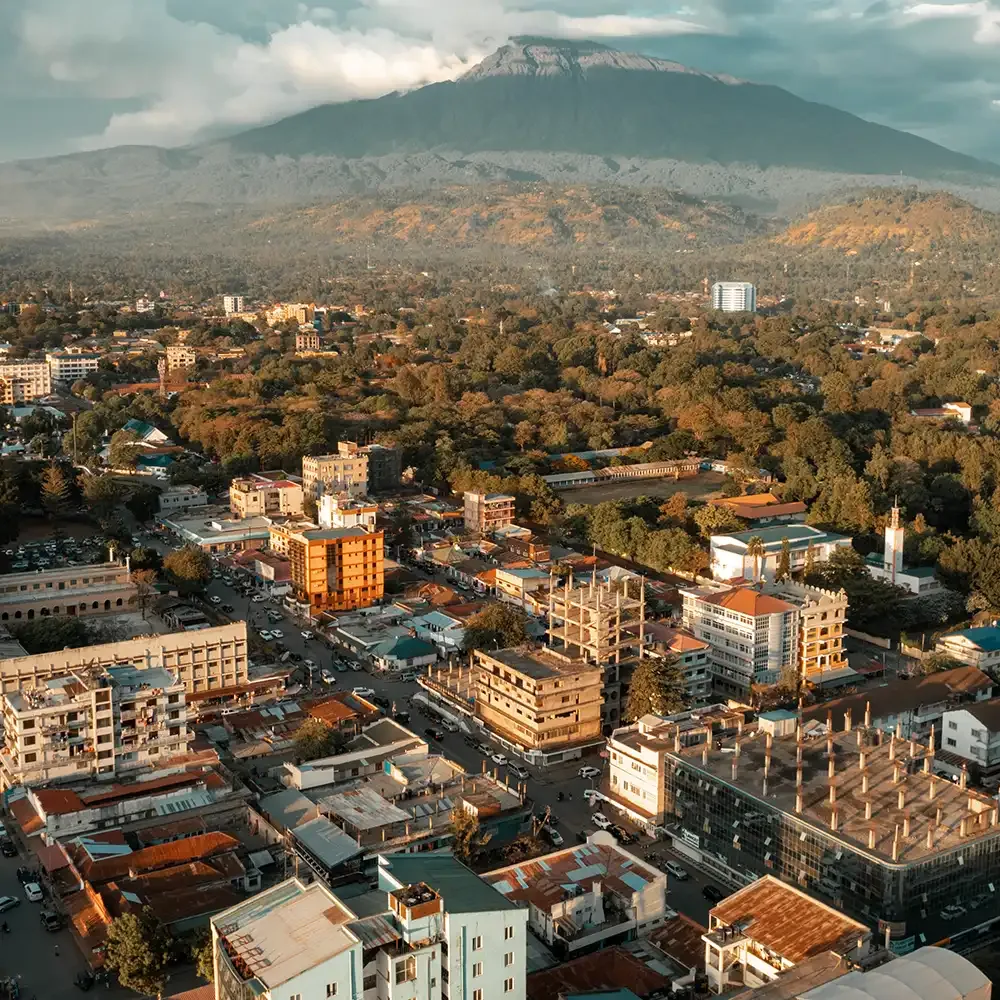
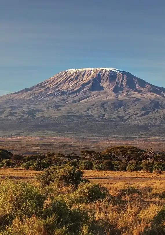
Private climb prices
What it costs, per person
Prices in USD, per climber, for a private climb on your own dates. The more of you there are, the less each pays.
Your group
$2,485per person$4,970total for 2 climbers
Classic · 2 climbers rate. The exact figure is confirmed for your dates.
Classic
A full-service expedition: professional mountain crew, quality camping, all park fees and meals.
- 1 climber
- $2,835
- 2 climbers
- $2,485
- 3 climbers
- $2,210
- 4 climbers
- $2,105
- 5 climbers
- $2,050
- 6 climbers
- $2,015
- 7 climbers
- $1,970
- 8-10 climbers
- $1,925
Park fees, your mountain guides, cook and porters, all meals on the mountain, camping equipment and a hotel night before and after the climb are included. International flights are not. Rates move with the season. Tell us your dates and we will confirm the exact figure.
Dates & prices
Set departures you can join
Prices are per person sharing, in USD. Park fees, accommodation and guiding are included; international flights are not.
What's Included
Inclusions & Exclusions
Included
- Airport transfers, and all transfers to and from the park gates
- A hotel night before and after the climb (bed & breakfast)
- All park entry, camping or hut, and rescue fees, with VAT
- Professional mountain guides, cook and porters
- All meals on the mountain and treated drinking water
- Camping equipment: sleeping tents, mess tent, tables, chairs and sleeping mats
- A private toilet tent
- Emergency oxygen, and pulse-oximeter health checks on the mountain
Not Included
- International flights
- Visa fees
- Travel insurance (it must cover trekking to 6,000 m)
- Tips for the mountain crew
- Personal gear and rentals, such as a sleeping bag or trekking poles
- Single supplement
- Lunch, dinner and drinks at the hotel
Questions
Frequently Asked
Have questions about this climb? Ask our team, we're happy to help you prepare.
Ready?
Start Planning
Your Climb
Tell us your dates and group size and our team will send a personalized quote within 24 hours. Free, no obligation.
Join a set date (3 open)Want different lodges, more days, or another route?
Opens the trip planner with this itinerary loaded, day by day.
Explore More
Continue Your
Adventure
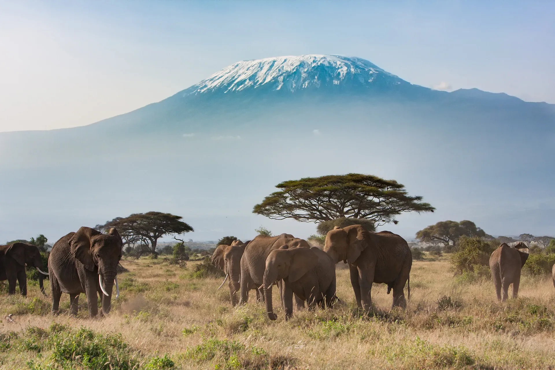
Pair the climb with a safari or a few days on the coast, or compare other ways up the mountain.